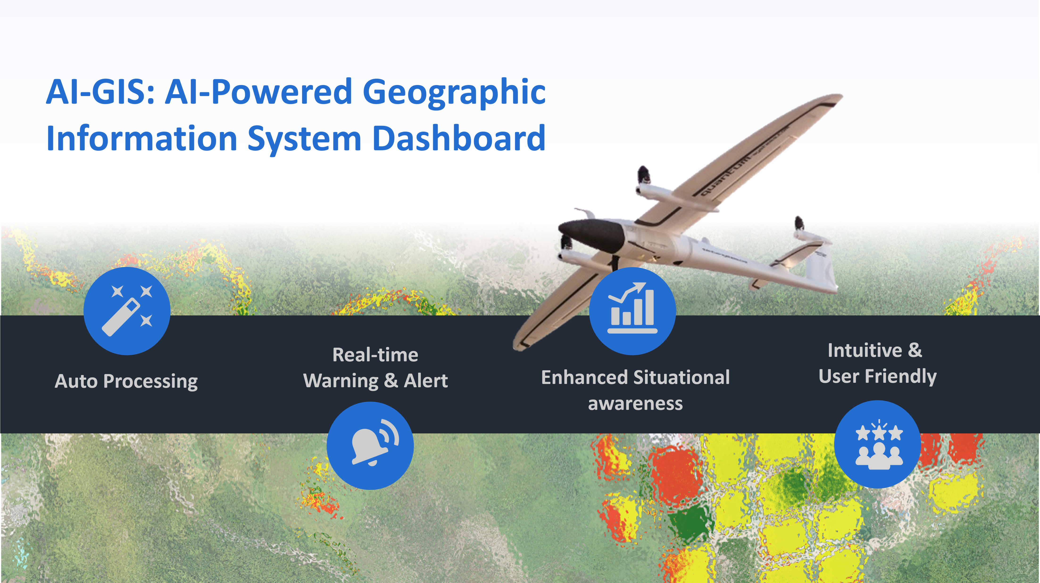
Exceptional Functionality
Automate editing, analysis, and cartography, along with cutting-edge data models and management.
Scalable
AI-GIS is suited for a single desktop user or an organization that requires a collaborative environment for multiuser access and control.
Web Enabled
AI-GIS allows you to deploy GIS applications within your organization and across the Internet, providing access to geospatial content for better decision making.